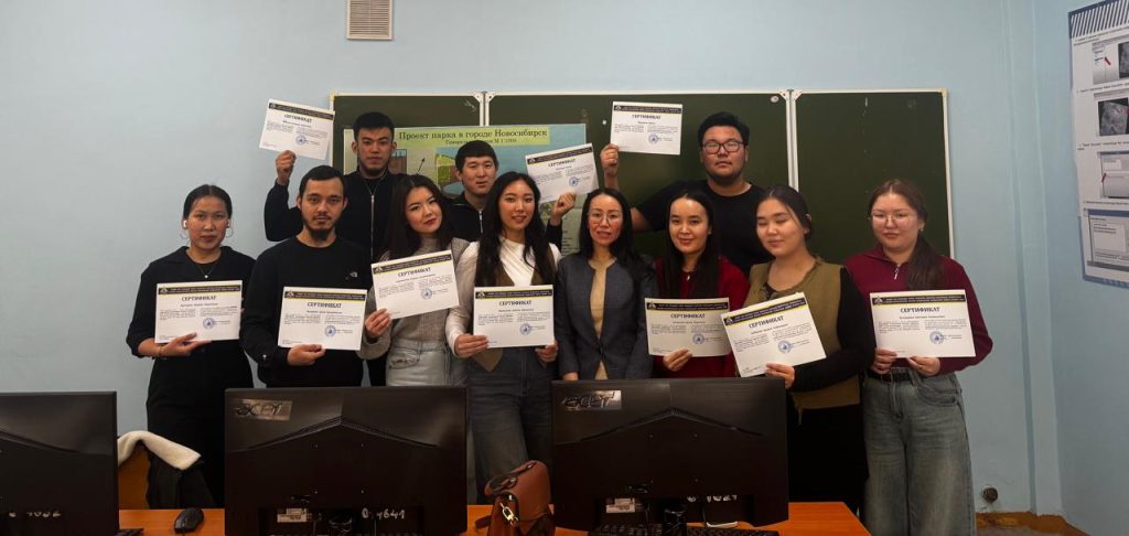
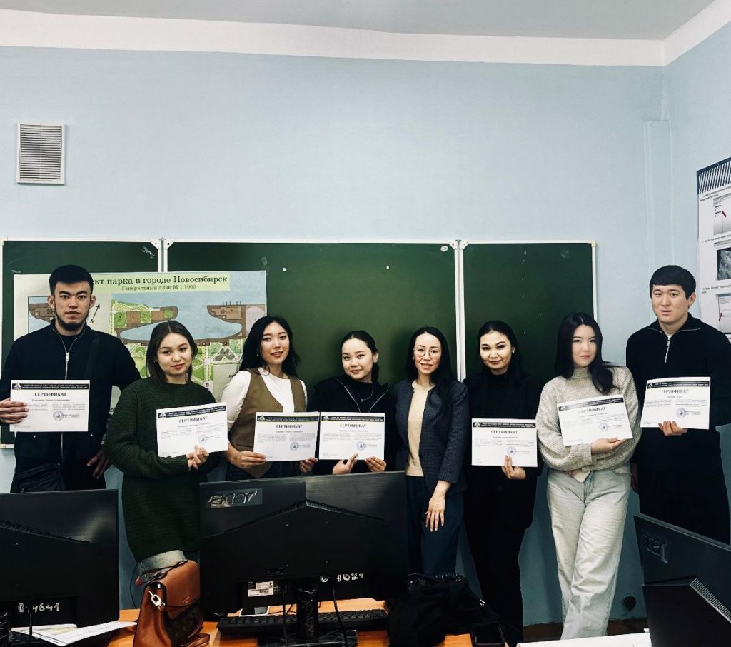
Advanced training courses “GIS technologies in the creation of geospatial databases” were organized at Zhangir khan university on october 9-31, november 4-22 and from november 25 to december 13
Students of the educational program “6B08301 – Landscape design” and “6B08300 – Forest resources and forestry” of the 4th year, acting associate professor Zamzagul Amangeldikyzy conducted a course on “GIS technologies in creating geospatial databases” at the end of the courses, the listeners were awarded a 36-hour certificate, the students mastered the ArcGIS program perfectly and improved qualifications.
ArcGIS makes it easy to create data, maps, globes and mobile devices in desktop software products, and then publish and use them via mobile devices in desktop applications, web browsers. ArcGIS is used by people all over the world to apply geographic knowledge in government, business, science, education, and media practice.


